News Summary
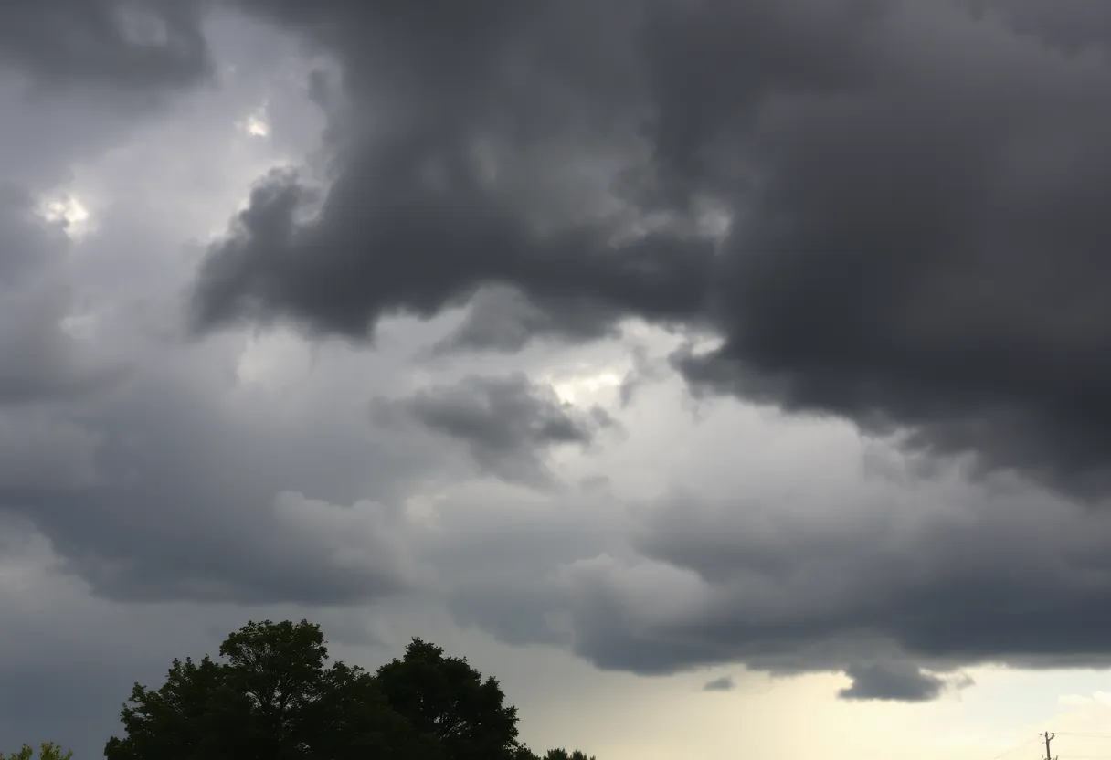
The National Weather Service has issued a severe thunderstorm warning for Cleveland, Rutherford, Cherokee, and Spartanburg counties until 8 p.m. EDT. Residents are advised to take precautions as winds may gust up to 60 mph and hail could reach 0.75 inches. The storm has already been tracked near Spartanburg and is moving eastward. The NWS stresses safety by advising individuals to stay indoors during the storm and to avoid flooded areas. Residents should report any damage to the NWS.
Greenville, SC – A severe thunderstorm warning has been issued by the National Weather Service (NWS) for four counties in Upstate South Carolina and Western North Carolina. The warning, which came into effect at 6:55 p.m. on Thursday, September 25, covers Cleveland, Rutherford, Cherokee, and Spartanburg counties. The warning is effective until 8 p.m. EDT.
Meteorologists have reported potential wind gusts reaching as high as 60 mph, prompting officials to advise residents to take necessary precautions. Areas affected could also see hail measuring up to 0.75 inches in diameter. The NWS has recommended that individuals move to an interior room on the lowest floor of their buildings for safety during the storm.
At the time of the warning, radar technology indicated that a severe thunderstorm was located approximately 11 miles north of Spartanburg, or 4 miles north of Boiling Springs, SC, and was moving east at a speed of 30 mph. Potentially hazardous conditions include strong winds and hail, which could cause damage to trees and power lines in the vicinity.
The storm impacts several locations, including Gaffney, Boiling Springs (both SC and NC), Inman, Blacksburg, Mayo, Chesnee, Campobello, Lattimore, and Mooresboro. Residents are encouraged to report any instances of damaging winds, hail, or flooding to the NWS through their toll-free number at 1-800-267-8101 or by posting on their social media platforms using the hashtag #nwsgsp.
A severe thunderstorm warning is defined by the NWS as a confirmation that winds have reached 58 mph or higher, or hail is one inch in diameter or larger. Such storms can lead to heavy rain, increase the risk of flooding or flash flooding, and pose a significant threat to safety. The NWS emphasizes the danger of lightning, which can travel several miles from the storm. Therefore, individuals should heed the advice that when thunder roars, they should go indoors.
The severe thunderstorm that prompted this warning has since weakened and has mostly exited the warned area. However, gusty winds are still a possibility with any remaining thunderstorms in the vicinity. On average, around 25 million lightning strikes occur across the United States each year, primarily during the summer months, leading to approximately 20 fatalities annually. The threat of lightning strikes increases as a thunderstorm approaches and peaks when the storm is overhead.
As the storm approaches, vehicle owners are advised to remain aware of the risks of hydroplaning on wet road surfaces. Taking safety measures is critical during such weather events to ensure the well-being of individuals and communities.
This severe weather alert was generated automatically and has been reviewed for accuracy. Residents are strongly urged to stay informed about weather conditions and to follow guidelines set forth by local authorities to ensure their safety during severe thunderstorms.
Deeper Dive: News & Info About This Topic
HERE Resources
Wofford College Honors Charlie Kirk at Candlelight Vigil
ZF Chassis Systems Duncan Expands Operations in Spartanburg
Upstate South Carolina Faces Severe Thunderstorms, Causing Damage and Power Outages
Weather Alert Issued for Union and Spartanburg Counties
Massive Haboob Dust Storm Hits Arizona – Visibility Reduced
Gaffney Community Remembers Three Beloved Residents
Wofford College President Nayef Samhat to Step Down
Severe Thunderstorms Cause Damage and Outages in Spartanburg
Attorney General Pam Bondi Promotes Law Enforcement Collaboration in South Carolina
Severe Thunderstorm Alerts Issued for Upstate South Carolina
Additional Resources
- GoUpstate: Spartanburg County Severe Thunderstorm Warning
- Wikipedia: Severe Thunderstorm
- Herald Online: Weather News
- Google Search: Severe Thunderstorm Warning
- Independent Mail: Severe Thunderstorm Warning
- Google Scholar: Thunderstorm Impacts
- WSPA: Tornado Alert in Upstate
- Encyclopedia Britannica: Thunderstorm
- Fox Carolina: Tornado Warning in Pickens County
- Google News: Tornado Warning Upstate

Author: STAFF HERE SPARTANBURG
The SPARTANBURG STAFF WRITER represents the experienced team at HERESpartanburg.com, your go-to source for actionable local news and information in Spartanburg, Spartanburg County, and beyond. Specializing in "news you can use," we cover essential topics like product reviews for personal and business needs, local business directories, politics, real estate trends, neighborhood insights, and state news affecting the area—with deep expertise drawn from years of dedicated reporting and strong community input, including local press releases and business updates. We deliver top reporting on high-value events such as the Spartanburg International Festival, Spartanburg ArtWalk, and motorsport events at Spartanburg Speedway. Our coverage extends to key organizations like the Spartanburg Area Chamber of Commerce and the Spartanburg Regional Healthcare System Foundation, plus leading businesses in manufacturing and textiles that power the local economy such as BMW Manufacturing and Milliken & Company. As part of the broader HERE network, including HEREAiken.com, HEREBeaufort.com, HEREChapin.com, HERECharleston.com, HEREClinton.com, HEREColumbia.com, HEREGeorgetown.com, HEREGreenwood.com, HEREGreenville.com, HEREHiltonHead.com, HEREIrmo.com, HEREMyrtleBeach.com, HERENewberry.com, HERERockHill.com, and HERESpartanburg.com, we provide comprehensive, credible insights into South Carolina's dynamic landscape.