News Summary
Greenville and Spartanburg counties are under a severe thunderstorm warning with potential wind gusts reaching 50 mph and hail up to 0.75 inches. Residents are advised to seek shelter indoors as the storm moves eastward. The NWS has raised the severe weather threat level due to forecasted conditions for May 8, which may see wind gusts as high as 58 mph. Individuals should stay updated on weather alerts and exercise caution, particularly during heavy rainfall and potential flooding.
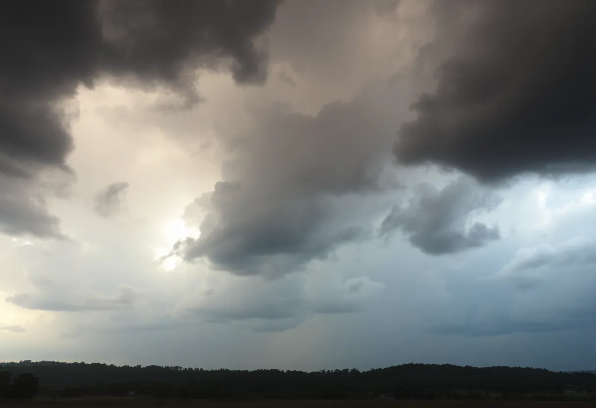
Greenville and Spartanburg counties are under a severe thunderstorm warning issued by the National Weather Service (NWS) on Wednesday afternoon. The alert took effect at 3:52 p.m. and is expected to last until 4:15 p.m. During this time, residents face potential wind gusts of up to 50 mph and hail the size of pennies, measuring approximately 0.75 inches in diameter.
As of 3:51 p.m., Doppler radar indicated a strong thunderstorm located 7 miles south of Columbus, near Landrum, moving eastward at 20 mph. The severe weather poses risks such as toppled tree limbs and the displacement of unsecured outdoor items, along with minor hail damage. Areas most likely to experience the storm’s impact include Landrum, Inman, Campobello, Lake Bowen, Boiling Springs SC, Gowensville, and Fingerville.
The NWS recommends that individuals outdoors seek shelter indoors. Additionally, torrential rainfall associated with the storm can lead to localized flooding, and residents are cautioned against driving through flooded areas. With the approach of a thunderstorm, the likelihood of lightning strikes increases significantly, peaking when the storm is directly overhead. Approximately 25 million lightning strikes occur in the U.S. each year, primarily during summer months, resulting in an average of 20 fatalities annually.
Hydroplaning, which is when a vehicle loses traction on wet surfaces, is another concern during severe storms. It occurs due to water building up in front of the tires, and various factors, including tire inflation, tread wear, and vehicle speed, can contribute to this hazard.
A separate forecast indicates additional severe weather is anticipated on May 8 in Greenville, Spartanburg, and Anderson, with wind gusts potentially reaching 58 mph and hail. The NWS has raised the severe weather threat level to level two due to increased atmospheric instability. Thunderstorms are expected to occur between 6 p.m. and midnight on May 8, with ongoing possibilities of storms extending into the night.
As conditions evolve, residents are urged to stay vigilant and updated with the latest weather alerts, taking necessary precautions to ensure their safety. On the following day, May 9, there may be scattered showers and isolated thunderstorms, accompanied by a 50% chance of precipitation.
Conditions are predicted to improve over the weekend, with a cooling ridge of high pressure expected to bring unseasonably cool air, allowing for pleasant weather and expected high temperatures around 80 degrees.
In recent days, thunderstorms with wind gusts reaching as high as 71 mph have caused significant power outages in the Upstate and Western North Carolina, impacting more than 27,000 customers by Tuesday night. The strongest recorded wind gusts of 71 mph occurred in Westminster, South Carolina, while other regions experienced gusts between 60 and 70 mph.
Deeper Dive: News & Info About This Topic
HERE Resources
Flood Advisory Issued for Spartanburg County
Record Heat Hits Greenville-Spartanburg Area
Spartanburg County Faces Severe Thunderstorm Warnings
South Carolina Ports Authority Reports Cargo Growth
Severe Thunderstorm Warning Issued for Spartanburg County
Investigations Intensify for Former Spartanburg Sheriff
Spartanburg County Suspends Controversial Rolling Thunder Operation
Temporary Lane Closures Impact Travel in Spartanburg County
Extreme Heat Wave Hits the Northeastern U.S.
Severe Thunderstorm Warnings Issued for Western Carolinas
Additional Resources
- Greenville Online
- Wikipedia: Severe Weather
- Independent Mail
- Google Search: Weather forecast Greenville Spartanburg Anderson
- Go Upstate
- Google Scholar: Severe Thunderstorm Warning
- Herald Online
- Encyclopedia Britannica: Severe Weather
- Island Packet
- Google News: Thunderstorms in Greenville

Author: STAFF HERE SPARTANBURG
The SPARTANBURG STAFF WRITER represents the experienced team at HERESpartanburg.com, your go-to source for actionable local news and information in Spartanburg, Spartanburg County, and beyond. Specializing in "news you can use," we cover essential topics like product reviews for personal and business needs, local business directories, politics, real estate trends, neighborhood insights, and state news affecting the area—with deep expertise drawn from years of dedicated reporting and strong community input, including local press releases and business updates. We deliver top reporting on high-value events such as the Spartanburg International Festival, Spartanburg ArtWalk, and motorsport events at Spartanburg Speedway. Our coverage extends to key organizations like the Spartanburg Area Chamber of Commerce and the Spartanburg Regional Healthcare System Foundation, plus leading businesses in manufacturing and textiles that power the local economy such as BMW Manufacturing and Milliken & Company. As part of the broader HERE network, including HEREAiken.com, HEREBeaufort.com, HEREChapin.com, HERECharleston.com, HEREClinton.com, HEREColumbia.com, HEREGeorgetown.com, HEREGreenwood.com, HEREGreenville.com, HEREHiltonHead.com, HEREIrmo.com, HEREMyrtleBeach.com, HERENewberry.com, HERERockHill.com, and HERESpartanburg.com, we provide comprehensive, credible insights into South Carolina's dynamic landscape.